
Town of Rotterdam Neighbor Sources
Block research works best when each source has a distinct job. The Town’s property system can identify a parcel, its situs, and an owner field. County map links can place that parcel among surrounding parcels. Recorded instruments can test a title question. Historical sources add a dated layer. None of these sources should be treated as a list of all current occupants. In particular, an owner mailing address may differ from the parcel’s physical location, and a land record is not proof that an owner lives at that site.
| Source | What It Shows About a Block | Access |
|---|---|---|
| PROS Street Finder | Addresses returned for a selected public road, with parcel, SBL, owner, and assessment context in each result. | Free Town portal; omit the street suffix; no ZIP filter observed. |
| PROS parcel card | Situs, current-owner field, assessment and property inventory for one parcel, plus a prior-owner lead. | Free Town portal; person-to-parcel evidence, not an occupant list. |
| County Beacon and tax map | Parcel geometry, tax-map context, and adjacent parcel identifiers when the linked viewer is available. | County link; exact live search fields were not located. |
| SIMS Lite | County-described parcel, road, E-911, election, public-health, farmland, watershed, aerial, and map context. | Public viewer link; exact identify controls remain unverified. |
| SearchIQS land records | Recorded instruments involving nearby parcels or parties, including deeds, liens, mortgages, and plats. | County Clerk linked search; online-year and image limits need confirmation. |
| Reverse directories and census | Historical street-to-name and household context near an address and year. | SCPL and Grems-Doolittle collections; coverage varies by volume. |
Start with the physical location, not a postal label or a name alone. The key terms are situs, the parcel’s physical location, and SBL, the tax-map or Section-Block-Lot identifier. Record the two separately from the owner mailing field. That practice avoids turning an administrative address into an unsupported claim about Town of Rotterdam neighbors.
The Schenectady County tax-map page links the county’s Beacon context and local assessor routes.
Use county mapping to place an SBL beside nearby parcels, then return to the official parcel or recorded-instrument source for the question at hand.
Town of Rotterdam Neighbor Blocks
The Town of Rotterdam Property Record Online System, called PROS, is the practical first stop for an address. Its quick form accepts Street Address, Tax Map # / SBL, Owner Name, and Street Finder. For an address search, the public guide says to omit the street suffix, such as entering a house number and street name rather than adding the suffix. Owner Name uses a Last, First format, and an equals sign before a surname forces an exact last-name search. A match can include a current or prior owner, so its history must be reviewed rather than assumed to describe the present.
Street Finder is the better tool for a small road segment because it supplies a dropdown of public roads and can be paired with an address number. The public guide says the street-finder result returns all addresses on the selected road. Save the parcel/SBL, full situs, owner field, assessment year, and access date from every result. PROS is a changing assessment interface, and the quick and advanced forms did not show a public ZIP filter.
Mapping Rotterdam Neighbor Parcels
The adjacent-parcel method begins with one verified PROS record, not a name search. It follows parcel geography outward while keeping each result limited to what its source supports. A map boundary is not a title opinion, and the live SIMS viewer’s exact identify, select, and buffer controls were not available during research. Confirm a feature exists in the live interface before using it. If it does not, PROS Street Finder and the county tax map provide a manual way to compare the surrounding block.
- Find the physical address in PROS and record its SBL, situs, owner field, assessment year, and access date.
- Open the county map or SIMS Lite when available and identify the parcel polygon, nearby road-front parcels, and adjacent SBLs.
- For each surrounding parcel, record the source date, situs, owner or mailing field, land-use class, district overlays, and map date without treating any owner field as an occupant list.
- Use the County Clerk’s SearchIQS index when a recorded-instrument question needs a deed, lien, mortgage, or plat trail.
- When an entire named road is the question, move to the Town of Rotterdam street directory for the fuller street-by-street record chain.
This flow keeps one address at the center: address → PROS SBL → nearby parcel geometry → recorded instruments or historical context. It does not turn a radius on a map into a list of people.
Rotterdam Neighbor Map Layers
County GIS and Economic Development Planning describes SIMS as a countywide system used by County offices, E-911, the Board of Elections, Public Health, Real Property, Emergency Management, agricultural and farmland programs, and watershed programs. The public SIMS Lite link is useful for geographic context, and the County says historic and current aerial photographs and maps exist. The research did not confirm exact live address, parcel, road, or adjacent-feature controls. Treat the public viewer as a map layer whose live controls must be checked, not as a guaranteed block-search tool.
The SIMS Lite viewer is the direct public map link.
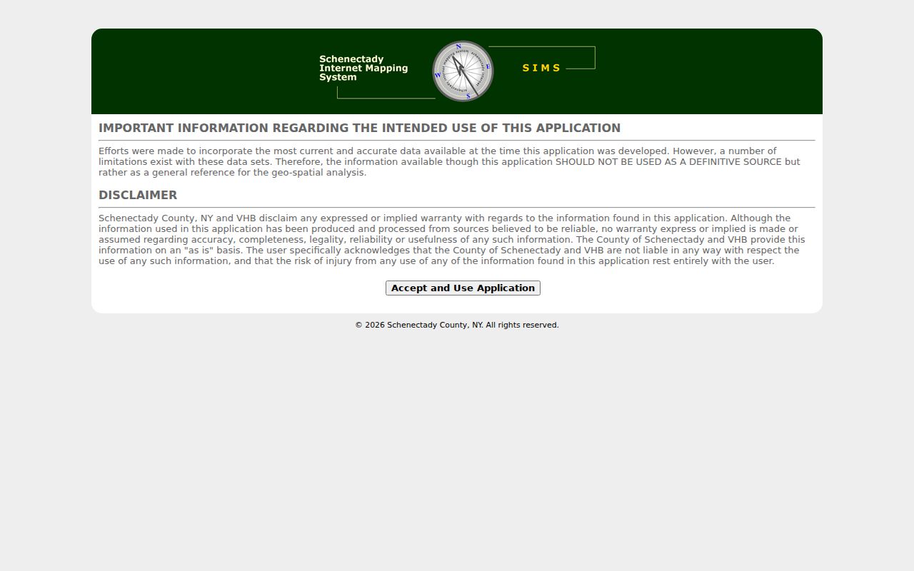
The image documents the public viewer route, but a current session should confirm any identify or measurement feature before relying on it for a parcel comparison.
The County GIS and planning page describes the agency uses and available map context.
Roads, E-911 context, districts, aerial imagery, and public layers can explain a block’s setting, but none replaces the underlying parcel or deed record.
Rotterdam Neighbor Voter Limits
New York’s Poll Site Search, Voter Registration, and Mail Ballot Tracker is not a map of registered people on a block. The public lookup requires a registered voter’s last name, first name, date of birth, county, and ZIP or address information. Choose Schenectady County for Rotterdam. JavaScript and cookies are required, and the research did not submit a live name, so no sample result fields were captured. A match is limited to the election system’s response at that time. It should not be presented as proof of a person’s current physical location.
Election Law §3-220 makes registration information public under supervision while excluding driver-license, non-driver-ID, Social Security, and fax fields. Confidential registrations are protected separately under §5-508. A full voter-file request requires an elections-purpose statement. If an appropriate local request is needed, ask for a precinct or election-district record series and date range, not an unrestricted block list. Never record or share the date of birth used in a lookup.
The Schenectady County Board of Elections provides the local voter-registration, polling-place, map, sample-ballot, result, and FOIL routes.
For an address near a town or county line, the Board of Elections is the local office to confirm the election jurisdiction and records procedure.
Rotterdam Neighbor Place Anchors
Town of Rotterdam is a set of hamlets and corridors rather than one compact downtown. Rotterdam Junction, Pattersonville, South Schenectady, Carman, West Hill, Dunnsville, and Plotter Kill are useful place terms when an address appears under a Schenectady postal city or a historical locality description. PROS also includes neighborhood codes such as Highbridge, Riggi Manor, Coldbrook, Stonegate Manor, El Dorado, Beckers Crossing, Dianne Estates, and Rotterdam Square. Those codes are planning or assessment terms, not proof of a historic neighborhood or civic association.
Four fire districts, the Sons of Italy, churches, cemetery associations, schools, Mabee Farm, and historical-society collections are documented local place anchors. They can help put a street in local context. They do not provide a public list of members or residents. No current complete HOA, neighborhood-association, block-club, or congregation roster was located. For a named development, ask Town Planning/Zoning whether an incorporated association, subdivision map, or filed declaration exists, then test that document through the County Clerk land-record index.
Historical Rotterdam Neighbors
A dated historic block can be easier to document than a current one. The historical society guide says city directories add street-address sections beginning in 1930. Read the street section around the target number, then compare the adjacent names with the alphabetical entry, census enumeration district, newspaper notice, and map. The SCPL run has missing volumes and is primarily a Schenectady collection that can include other county localities, so each book’s scope must be checked before assigning an address to Town of Rotterdam.
For earlier place history, the 1866 county atlas, 1856 county map, Jonathan Pearson Street Books, and the VB 79 ledger can test a road or ownership clue. Rotterdam Junction has a 1913 Sanborn sheet that can show a structure’s footprint, material, street number, and building context. It does not list every household. Label each finding by date and source as an adjacent parcel, adjacent directory entry, or same census block rather than assuming it represents a continuing relationship.
Comparing Rotterdam Neighbor Tools
A reliable block question needs sources that can be checked against their custodian. Commercial neighbor-lookup tools are a broad category that may blend address histories, public filings, marketing data, and algorithmic name matches. They can charge for a report, omit protected people, merge different people, or retain an old address. A quick display is not the same as an auditable parcel or recorded-instrument trail.
| Official research path | Commercial neighbor-tool category |
|---|---|
| PROS and SBL establish the parcel’s assessed identity and current administrative context. | May combine sources with unclear update dates or matching rules. |
| County map links and SIMS provide separately dated geographic context. | May show a map without identifying the map custodian or layer date. |
| SearchIQS and the County Clerk point to recorded instruments for a title question. | May summarize an address history without the source document or image. |
| SCPL and Grems-Doolittle provide date-bounded historical material. | May blend past and current addresses without explaining the date boundary. |
The official route can take longer, but it keeps the parcel, source date, and custodian visible. Use USPS for postal normalization, PROS for parcel identity, GIS for nearby parcels, recorded instruments for title questions, and historical collections for a dated block.
Town of Rotterdam Neighbor Privacy
Some block information is not public and should not be reconstructed. Non-owner household members, most current occupants without a public record role, utility-customer data, delivery records, protected voters, Address Confidentiality Program participants, and restricted motor-vehicle information remain outside this research path. New York’s ACP provides a substitute address and mail-forwarding protections for eligible participants. Do not try to locate an actual address behind a substitute address. Confidential voter registrations are also maintained separately and are not available through an ordinary public lookup.
FOIL is record-specific. A Town or County request should identify the agency, record type, date range, format, and delivery method, and should not ask an office to build a new neighbor list. Public Officers Law Article 6 allows privacy and safety exemptions, and a request for names or home addresses can require a no-solicitation or no-fundraising certification. Courts use their own access rules. Stop where a source ends, and ask the correct custodian about a narrowly described existing record.
Lawful use. Use Town of Rotterdam neighbor records for personal, lawful research, property curiosity, family history, or civic context. Do not use a record trail to watch, harass, intimidate, or harm any person.