
Town of Rotterdam Postal ZIP Coverage
Postal service areas overlap Rotterdam rather than forming an official municipal boundary map. The Town’s facilities, fire-district addresses, USPS pages, county health groupings, and a comprehensive-plan survey document a set of ZIPs that touch local addresses. They do not establish that every address carrying one of those ZIPs lies in the Town. The table separates well-supported postal examples from survey-only edge clues so a search can begin with the right degree of confidence.
| ZIP | Areas Covered | Post Office | Notes |
|---|---|---|---|
| 12306 | Core Rotterdam examples, including central and southern Town addresses | Rotterdam Square, Schenectady | High confidence for examples, but verify each parcel. |
| 12150 | Rotterdam Junction and its northern or western corridor examples | Rotterdam Junction | High confidence for the hamlet examples, not a full boundary. |
| 12303 | Southern or eastern edge addresses using the Schenectady postal city | No separate station identified in the research | Medium confidence; the exact Town edge was not located. |
| 12137 | Pattersonville-area official facility example | No separate station identified in the research | High confidence for the cited facility, not every surrounding address. |
| 12304, 12056, 12138 | Survey or planning-response edge clues | Not established by a Rotterdam facility example | Parcel and USPS verification required before using them as Town coverage. |
The plan survey reported respondents using 12306, 12303, 12150, 12304, 12137, 12138, and 12056. It also included 11306, an anomalous response with no local facility or service example. Treat survey percentages as evidence of reported postal labels, not as parcel totals or a list of Rotterdam ZIP boundaries.
The Town’s fire-district inventory provides the official postal examples behind several rows, including Rotterdam Junction, Schenectady, and Pattersonville addresses.
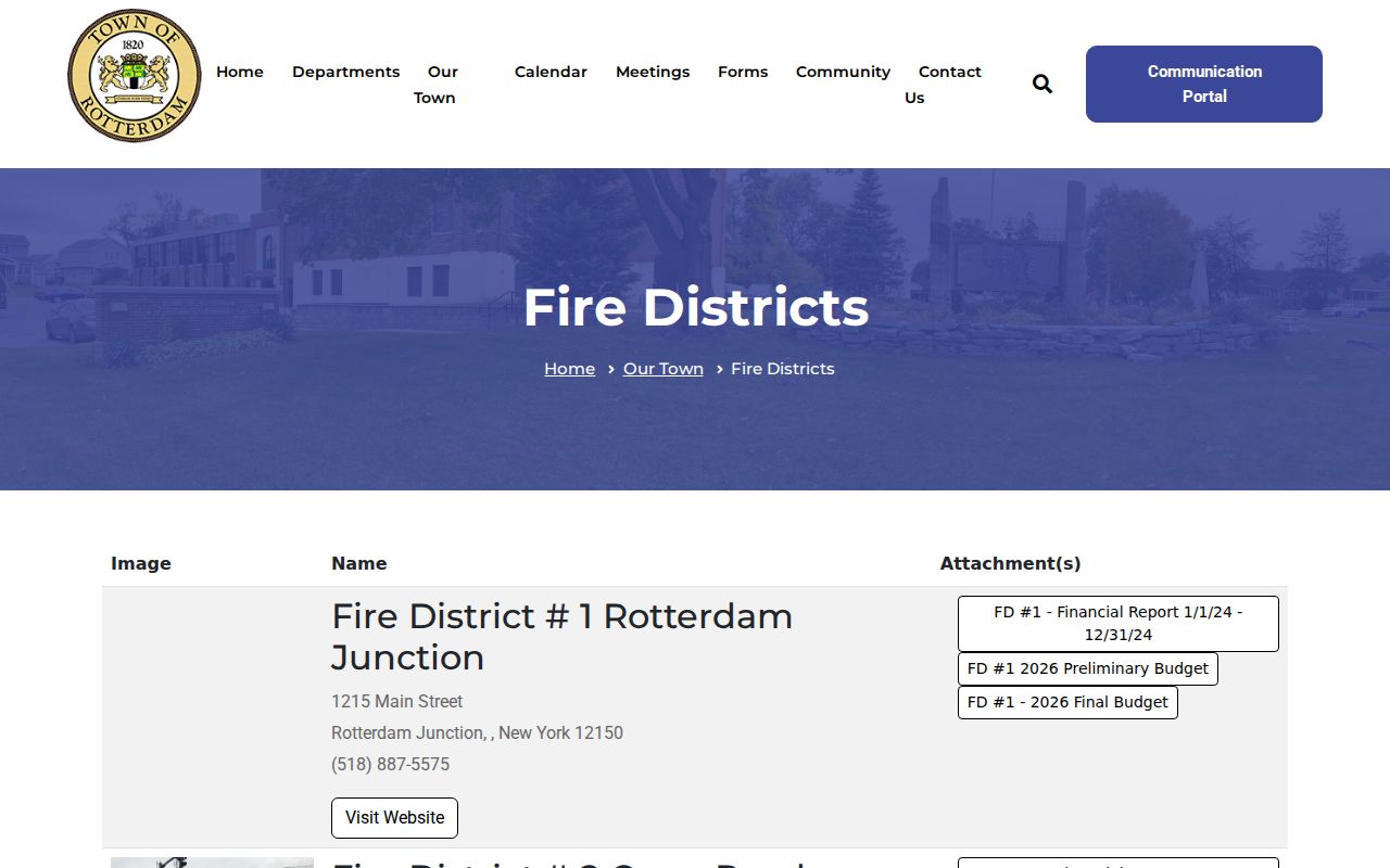
Those addresses show why a ZIP code search must be paired with the named location and the parcel record instead of being read as a Town boundary.
12306 and 12150 Rotterdam Anchors
12306 is the clearest core postal example. Town Hall, the Assessor, and Fire District 2 use Schenectady, NY 12306, while the USPS lists Rotterdam Square at 93 W Campbell Road with ZIP 12306-6890. County health material also groups Rotterdam with 12306. The result supports a core service-area description, but it still does not make every 12306 address a Rotterdam situs address.
For Rotterdam Junction, 12150 has equally concrete support. Fire District 1 uses a Rotterdam Junction address, and USPS identifies the Rotterdam Junction Post Office at 1206 Main Street, 12150-9998. These are strong place anchors for the hamlet and corridor. A record search should keep the postal city shown by the source, then confirm the municipality through the Town parcel system.
12303 needs more care. Fire District 3 uses a Schenectady, NY 12303 address, and the Town plan survey included substantial 12303 response activity. That evidence supports an edge treatment, not a claim that the postal service area and Town limits are the same.
Note: Rotterdam’s postal-city labels can differ from its municipal situs, especially along hamlet and city-edge corridors.
Finding Town of Rotterdam Records by ZIP
A ZIP code can narrow an exact-address task, but it is not a browse filter in every Rotterdam record system. The Town Assessor’s PROS quick and advanced forms did not show a public ZIP field. Their practical keys are street address, Tax Map number or SBL, owner name, and Street Finder. Once an address has been normalized through USPS, use the address or SBL in PROS and save the physical location separately from the owner mailing field.
- Enter the complete mailing address in the USPS ZIP Lookup Tool with street address, city, and state.
- Keep the returned ZIP and postal city as mailing information, then search the Town’s PROS system by street number and street name without the suffix.
- Record the Tax Map number or SBL, the property location, the owner field, the assessment year, and the date checked.
- Use the SBL and property location for County Clerk, tax-map, or GIS follow-up rather than treating the ZIP as a title or residency key.
- When the question becomes a road-by-road parcel task, continue with the Town of Rotterdam street directory workflow.
The USPS ZIP Lookup Tool is the authoritative control for one complete mailing address. Its answer confirms a current postal assignment. It does not confirm ownership, legal description, or whether a location is inside the Town.
Rotterdam Voter Lookup and ZIP Input
New York’s voter tool includes ZIP Code among the inputs, but it is a limited registration and poll-site service rather than a public ZIP-wide resident list. The form asks a registered New York voter for last name, first name, date of birth, county, ZIP Code, and address information. Select Schenectady County for a Rotterdam query. A match is tied to the inputs and the election system at that time, not proof that a person currently occupies a parcel.
| Field | How it is used | Important limit |
|---|---|---|
| Last and first name | Identity match within the lookup flow | Same-name results need the other required inputs. |
| Date of birth | Required disambiguation input in MM/DD/YYYY form | Do not copy it into research notes or output. |
| County | Select Schenectady for Rotterdam | It narrows a query, not a municipal boundary. |
| ZIP Code and address | Polling-place and registration lookup inputs | They are not a public browse-by-ZIP directory. |
| Formal voter request | Election records may be requested under statutory procedures | An elections-purpose statement is required and protected fields stay excluded. |
NYS Poll Site Search requires JavaScript and cookies. If the self-service route cannot resolve an address, the Schenectady County Board of Elections is the local contact for district, polling-place, and properly scoped record questions.
Town of Rotterdam ZIP Code Field Limits
PROS is the strongest current parcel bridge, but it does not turn a ZIP into a parcel crosswalk. The observed quick-search form accepts Street Address, Tax Map # or SBL, Owner Name, and Street Finder. Its advanced form adds neighborhood, street, property class, sale, assessment, and building details. Neither observed form exposed a ZIP field. That is useful information: it tells a researcher to resolve the address first rather than keep trying to force a postal-code search into a property system that does not provide one.
| PROS field | Useful Rotterdam task | ZIP limitation |
|---|---|---|
| Street Address | Find a physical parcel location with the suffix omitted | Use an already verified postal address; no ZIP filter is present. |
| Tax Map # / SBL | Hold the stable parcel key when names or postal labels differ | Does not translate to a published ZIP list. |
| Owner Name | Find a current or prior owner lead | An owner mailing address can be outside the situs ZIP. |
| Street Finder | Return addresses on a selected public road | It is a street tool, not a postal-area tool. |
The PROS quick-search guide also says that partial address text is accepted and a Street Finder road can be combined with a number. Use the result as an assessment and parcel lead, then check the deed trail when ownership history matters.
Postal Labels Across Rotterdam Hamlets
Rotterdam is a town of hamlets and corridors, not one compact postal center. Rotterdam Junction, Pattersonville, South Schenectady, Carman, West Hill, Dunnsville, and Plotter Kill appear in official and historical material. Roads such as Curry, Hamburg, Campbell, Princetown, Main, and Rynex Corners also help place an address. These local names can be useful search terms, yet they are not interchangeable with a ZIP or a legal parcel description.
PROS adds assessment labels such as Highbridge, Riggi Manor, Coldbrook, Stonegate Manor, El Dorado, Beckers Crossing, Dianne Estates, and Rotterdam Square. They can help select a neighborhood option in the advanced form. They are planning or assessment labels, though, and should not be recast as historical district lines or a substitute for the postal result.
Town of Rotterdam ZIP Geography for Place History
Postal examples can also help place a historical record before the parcel work begins. Rotterdam Junction’s 12150 example is useful when comparing a local directory, a map, or the Rotterdam Junction Sanborn sheet from 1913. Canal and railroad corridors shaped how people and goods moved through the Town, so a person may appear under a Rotterdam Junction postal reference in one source and a Schenectady directory in a nearby year.
Use that postal clue to choose the next local source, not to merge separate addresses. The 1856 county map, the 1866 atlas, census material, and Pearson Street Books can provide dated road and landowner context. The SBL, deed description, and exact printed address remain the checks that decide whether the records describe the same property.
Town of Rotterdam ZIP Terms
Postal vocabulary can make a record look more exact than it is. These terms help keep the postal result separate from the land-record key and from the Town’s boundaries.
- ZIP Code
- A Postal Service delivery-area code used to route mail. It can cross a Town line or use a nearby postal-city name.
- ZIP+4
- An added four-digit delivery detail. It refines mail routing but does not establish ownership or municipal situs.
- PO-box ZIP
- A ZIP associated with post-office box service. The research did not identify one as a Rotterdam-wide parcel category.
- Unique ZIP
- A ZIP assigned for a particular organization or use. None was established in the Rotterdam source inventory.
- Carrier route
- A mail-delivery route. It can aid postal handling, but it is not a legal parcel or Town boundary.
Town of Rotterdam ZIP Boundaries and Situs
The most important distinction in a Town of Rotterdam ZIP code directory is between postal address and situs. The situs is the property’s physical location. PROS can show that location and an owner’s current mailing address, and the two may be in different ZIPs or municipalities. A deed may also carry a mailing address while preserving a legal description that ties the instrument to the parcel. None of those fields should silently replace another.
No official complete parcel-to-ZIP crosswalk or Town ZIP shapefile was located. The Town’s eCode chapter on street naming and numbering is a useful local-code lead, but no complete historic renumbering or readdressing crosswalk was found. For an unclear edge address, compare the USPS answer, PROS situs, exact SBL, County tax-map context, and the document’s legal description before stating where a record belongs.
Note: A missing online ZIP match can reflect an address-format problem or a boundary mismatch, not the absence of a Rotterdam parcel.